
New Flood Hazard Zone Maps Being Released in Alameda County
The Federal Emergency Management Agency (FEMA) will be releasing 25 revised Flood Insurance Rate Maps (FIRM) on December 20, 2018 for coastal communities of Alameda County from Hayward to Albany. Approximately 2000 parcels within the City of Alameda and many in San Leandro will be rezoned into the 100-year Floodplain. Other communities such as Albany, Berkeley, Oakland, Emeryville, and Hayward will see some changes, but not nearly as drastic. Find more information about local flood maps on the City of Alameda Public Works website.
How does this affect Homeowners?
Properties that are being rezoned within the 100-year floodplain were previously in a Zone “X” which did not require flood insurance for home owners that have a federally backed loan. These homeowners will soon be required to purchase flood insurance if their lender is federally regulated or insured. Also any new development in these newly designated areas would be required to elevate the structure above the revised base flood elevation. This may also affect additions, depending on the scope of the project.
What Can Homeowners Do?
Homeowners should contact their insurance agent to confirm whether a change in their coverage is needed, and check if they qualify for a lower-cost Preferred Risk Policy (PRP) for the first 12 months following the new map’s effective date. Rates will begin transitioning to a full-risk rate, with annual increases of no more than 18% a year. Buying a PRP before the maps change can result in additional savings for the home owner.
California Home, Roof and Termite Inspection Company
At HomeGuard, we offer full NHD reports that include flood zone details for your property throughout California. HomeGuard also offers home, termite, and roof inspections. For more information, click here or call us at 855-331-1900.
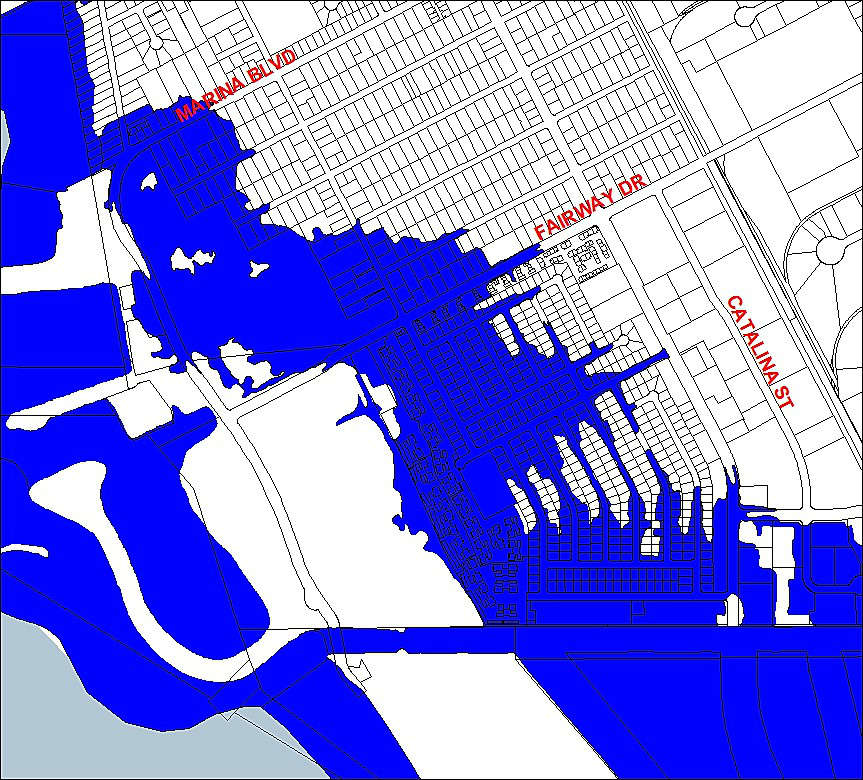
Here is a sample of the new flood zone map for the San Leandro Marina area